


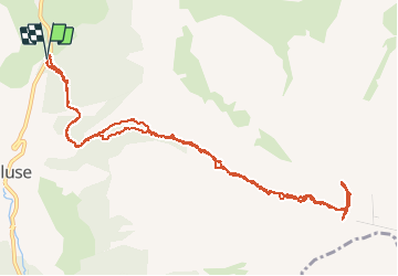

8.5 km | 15.9 km-effort

User GUIDE


FREE GPS app for hiking
 SityTrail
IGN / Geographical institutes
SityTrail World
The world is yours!
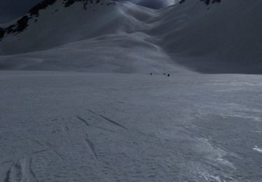
Trail Touring skiing of 13.9 km to be discovered at Provence-Alpes-Côte d'Azur, Hautes-Alpes, Le Dévoluy. This trail is proposed by nadd73.
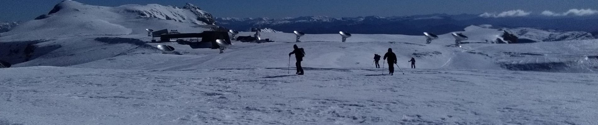
Départ en bas du col de Festre.
Passage étroit raide 40•. Crampons et couteaux nécessaires.
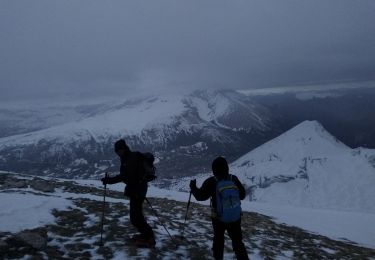
Beaucoup de vent comme souvent.
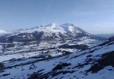
un trentaine de chamois


Walking

Walking

Walking

Walking
Touring skiing
Touring skiing
Touring skiing
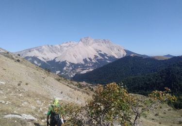
Walking
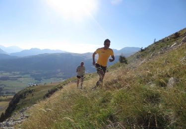
Running